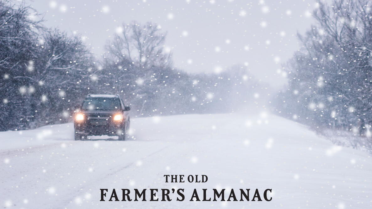
When most people hear the word blizzard, they think of heavy snow and whiteout conditions. Officially, the blizzard definition includes specific wind speeds, visibility limits, and temperatures.
What Is a Blizzard?
Think blizzard and heavy snowfall comes to mind. However, a blizzard is officially defined by the National Weather Service as a storm with:
• Wind gusts over 35 mph
• Visibility under ¼ mile
• Duration of at least 3 hours
• Temperatures below 20°F
How Meteorologists Predict Blizzards
Although blizzards are tracked by satellites, forecasters use computer models to predict their paths. The models reside in mammoth supercomputers and are constantly fed information about the current state of the atmosphere.
According to the National Weather Service, the computers have an overall accuracy level of 85 percent—a respectable rate, as some have learned the hard way.
On February 5, 1978, weathermen ignored a computer’s prediction of a massive East Coast snowstorm and put their faith in more tried-and-true methods, such as looking through reams of hand-drawn charts. The computers won; areas of the Northeast wound up buried under more than 2 feet of snow.
See the Old Farmer’s Almanac Winter Weather Forecast!
Famous Blizzard Forecasting Failures
Nonetheless, while computers can often “see” blizzards coming, they’re far from foolproof.
On January 24, 2000, models persuaded forecasters in Washington, D.C., to predict “less than an inch of snow” for the following morning. The models misfired by about 250 miles (400 kilometers), and a major blizzard dumped over a foot of snow. The foul-up was blamed in part on bad timing; weather balloons delivered new information just after the evening weather shows were over.
Another problem: Models are only as good as the data they’re given—and that’s never an accurate reflection of real conditions. A tiny change in the model can deliver a different answer.
In the case of the D.C. blizzard, the model didn’t adequately gauge the effect of an eruption of thunderstorms over Georgia. This storm was a missing variable that pushed the blizzard on a more western track.
The computer model’s degree of accuracy also depends on the blizzard itself. Frontal systems have less predictability than high-pressure systems. Small miscalculations in location can mean big differences in what you’re going to shovel the next day.
The Blizzard of 1888
Forecast: Fair, slightly colder
Fact: “Colder brisk westerly winds and fair weather” was the official forecast issued by the War Department Signal Service (a precursor to today’s National Weather Service) on March 11, 1888. The next day, the Blizzard of 1888 dumped 4 feet of snow from New York City north through New England, killing 400.
The Vermont Bellows Falls Times described conditions this way: “No paths, no streets, no sidewalks, no light, no roads, no guests, no calls, no teams, no hacks, no trains, no Moon, no meat, no milk, no paper, no mails, no news, nothing—but snow.”
Frequently Asked Questions
What is a blizzard?
A blizzard is a severe winter storm defined by sustained or frequent wind gusts over 35 mph, visibility of less than a quarter mile, temperatures below 20°F, and conditions lasting at least 3 hours.
Is heavy snowfall required for a blizzard?
No. A blizzard can occur even with little or no falling snow if strong winds blow existing snow and reduce visibility to near zero.
How are blizzards predicted?
Blizzards are predicted using computer models that analyze atmospheric data collected from satellites, weather stations, radar, and weather balloons.
How accurate are blizzard forecasts?
According to the National Weather Service, modern weather models have an overall accuracy rate of about 85 percent. However, small changes in weather conditions can significantly affect a storm’s path and intensity.
Why are blizzards hard to predict?
Blizzards are difficult to predict because they depend on many interacting factors, including temperature, wind patterns, moisture, and storm track. Small errors in data or timing can lead to large forecast differences.
What is the difference between a blizzard and a winter storm?
A winter storm may bring snow, sleet, or freezing rain, but it does not meet the strict wind and visibility criteria required to be classified as a blizzard.
What was the Blizzard of 1888?
The Blizzard of 1888 was one of the most severe winter storms in U.S. history, dumping up to 4 feet of snow across the Northeast and killing an estimated 400 people. Learn about more record-breaking snowstorms.
Can blizzards be detected by satellites?
Yes. Satellites help track large storm systems, but they cannot capture every detail near the ground, which is why forecasting blizzards remains challenging.
Do blizzards only happen in the United States?
No. Blizzards occur worldwide in cold regions, including Canada, parts of Europe, Russia, and Antarctica.
How can people stay safe during a blizzard?
Staying indoors, avoiding travel, keeping emergency supplies on hand, and following guidance from local weather authorities are key steps to staying safe during a blizzard. Learn more about preparing for a blizzard.
Have you ever experienced a blizzard that was worse than forecasted? Share your story in the comments.


Comments