

Winter weather can be confusing, especially when the National Weather Service issues terms like “winter storm warning” or “windchill advisory.” Knowing what each alert means can help you stay safe, plan ahead, and avoid surprises during snow, ice, and frigid temperatures. From blizzards to snow squalls and sleet to freezing rain, this guide breaks down common winter weather terms so you can understand the forecast with confidence.
Winter Weather Definitions
Winter Storm Watch
If a Winter Storm Watch is issued, hazardous winter weather is expected in the form of heavy snow, heavy freezing rain, or heavy sleet. Issued 12 to 24 hours before the event is expected to begin.
Winter Storm Outlook
A Winter Storm Outlook is issued prior to a Winter Storm Watch, usually 3 to 5 days in advance of a possible winter storm.
Winter Storm Warning
A Winter Storm Warning is issued when a dangerous combination of heavy snow, with sleet and/or freezing rain, will occur or has a high probability of occurring within the next 12 hours.
Blizzard Warning
A blizzard is a storm with large amounts of snow or blowing snow with sustained or gusty winds of 35 mph or more, and falling or blowing snow creating visibilities at 1/4 mile or less for an extended period of time (at least 3 hours). When these conditions are expected, the National Weather Service will issue a “Blizzard Warning”. When these conditions are not expected to occur simultaneously, but one or two of these conditions are expected, a “Winter Storm Warning” may be issued (as above).
Windchill Warning
A Windchill Warning is issued when wind chill temperatures are expected to be hazardous to life within several minutes of exposure.
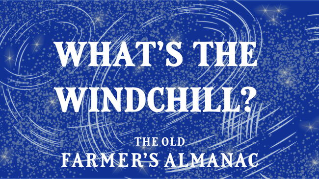
Windchill Advisory
A Windchill Advisory is issued when wind chill temperatures are expected to be a significant inconvenience to life with prolonged exposure, and, if caution is not exercised, could lead to hazardous exposure. Check our wind chill chart for the U.S. and for Canada.
Winter Weather Advisories
Winter Weather Advisories are issued for accumulations of snow, freezing rain, freezing drizzle, and sleet, which will cause significant inconveniences and, if caution is not exercised, could lead to life-threatening situations.
Dense Fog Advisory
A Dense Fog Advisory is issued when fog will reduce visibility to 1/4 mile or less over a widespread area.
Snow Flurries
Snow flurries involve light snow falling for short durations. No accumulation or light dusting is all that is expected.
Snow Showers
Snow showers involve snow falling at varying intensities for brief periods of time. Some accumulation is possible.
Snow Squalls
Snow squalls are brief, intense snow showers accompanied by strong, gusty winds. Accumulation may be significant. Snow squalls are best known in the Great Lakes region.
Blowing Snow
Blowing snow is wind-driven snow that reduces visibility and causes significant drifting. Blowing snow may be snow that is falling and/or loose snow on the ground picked up by the wind.
Sleet
Sleet is made of raindrops that freeze into ice pellets before reaching the ground. Sleet usually bounces when hitting a surface and does not stick to objects. However, it can accumulate like snow and cause a hazard to motorists.
Freezing Rain
Freezing rain is rain that falls onto a surface with a temperature below freezing. This causes it to freeze to surfaces, such as trees, cars, and roads, forming a coating or glaze of ice. Even small accumulations of ice can cause a significant hazard.
From sleet to snow squalls, understanding winter weather terms is key to staying safe. Check forecasts regularly and know what each alert means to be ready for whatever winter brings.
→ Check our weather forecast to see if any winter storms are headed your way!

More Like This


Hi Carolyn, You can go to this page for an general U.S. forecast, and find the regional winter forecasts in the newly-published 2017 Almanac here.
Comments